The following sketch maps are available to view and/or download for printing – for future reference. (You will first need to download free Adobe Reader software if you do not already have it.)
East Lincolnshire Towns, Villages and RAF Airfields mentioned in May’s Diaries
Note: The on-screen maps can be searched by entering a place or street name in the Adobe Reader search box.
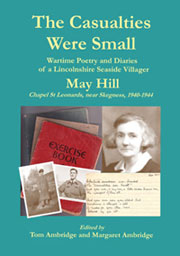
Have you read an introduction to May Hill & family (includes photographs) and explored ‘The Casualties Were Small’?

